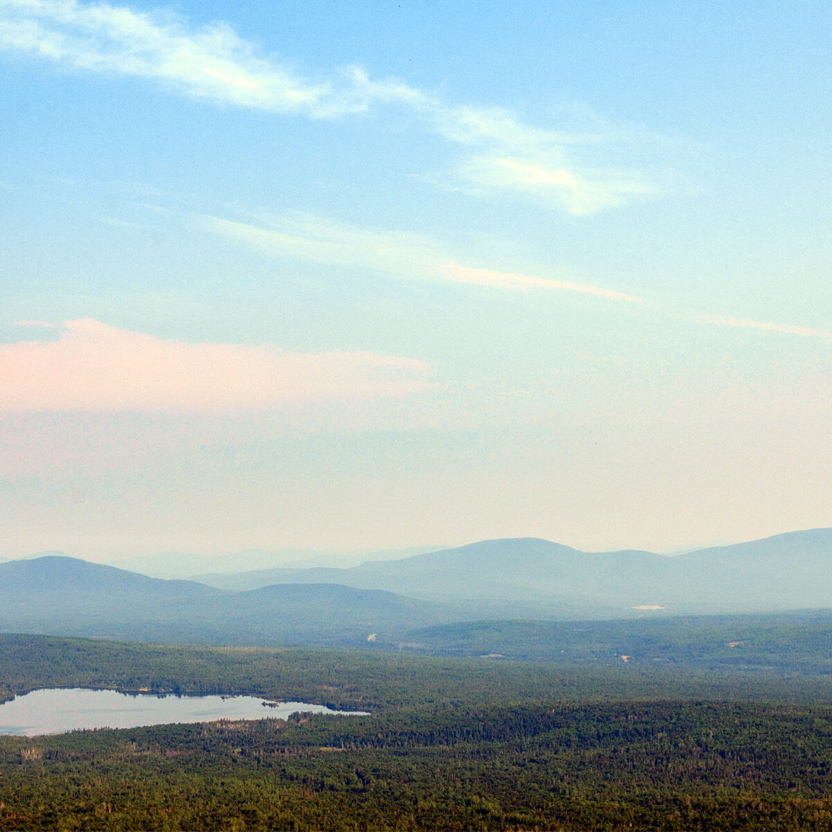
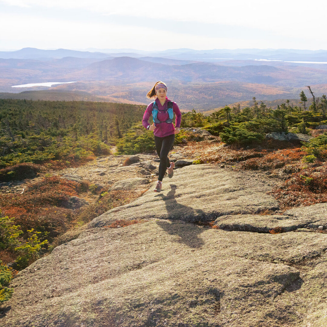
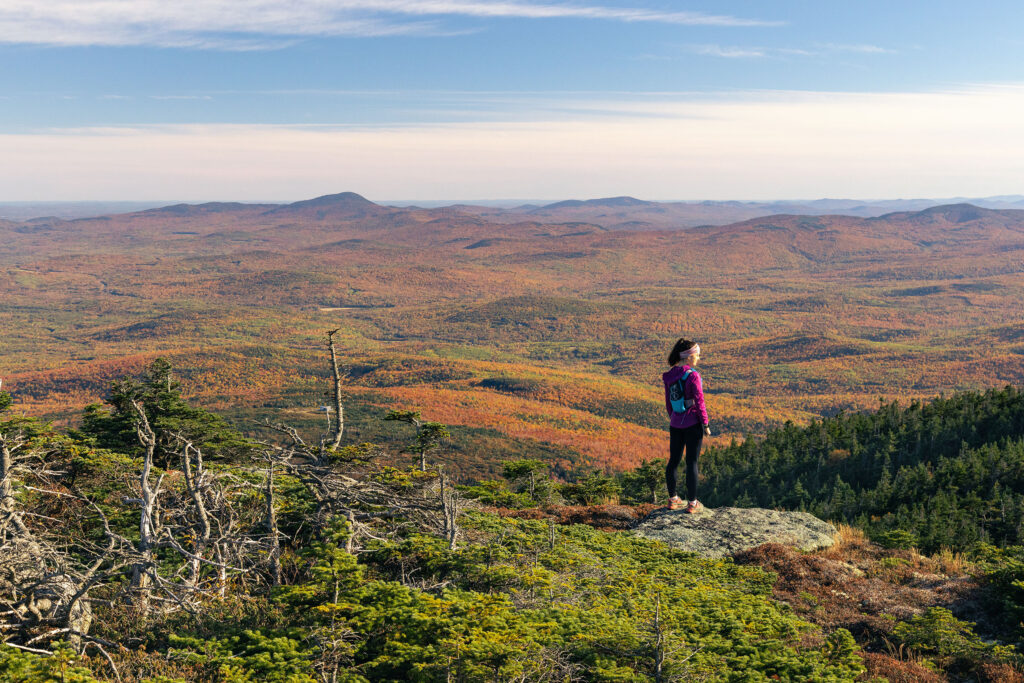
In Maine, Mt. Katahdin is our tallest peak at just over a mile high (5,269 feet); it is also the only mountain that is 5,000+ feet tall in the state. Closer to home, Maine’s Lakes and Mountains region is home to ten of the 14 found in the state, giving the region the highest concentration of 4,000-foot-or-more mountain peaks statewide. Because of this, hikers and climbers come from far and wide to summit these mountains or “bag” these peaks.
For non-climbers, the suffix “-footers” is appended when a mountain in a specific geographic area meets or exceeds a set of elevation (and other) criteria. To put all this into more familiar terms, a 4,000-foot peak is 3/4 of a mile from top to bottom. Now imagine climbing step-by-step to the top of the Empire State Building (1,250 ft), the Statue of Liberty (305 ft), the Eiffel Tower (984 ft), the London Eye (443 ft), the Washington Monument (555 ft) and the Pyramid at Giza (455 ft) all at the same time.
While Maine’s Lakes & Mountains list of 4,000 footers is not the largest—neighboring New Hampshire offers a whopping 48 of them—there are plenty of challenging climbs to find here.
10 Amazing Mountain Hikes
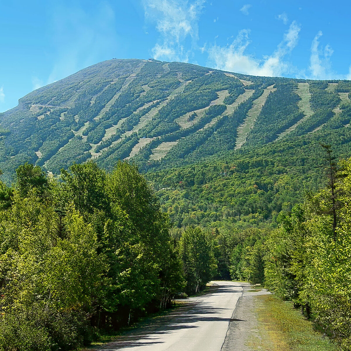
1. Sugarloaf Mountain
Elevation: 4,240 feet Distance: 6.4 miles round-trip Location: Carrabassett Valley
Most peak baggers in Maine have Sugarloaf Mountain on their bucket list and for good reason. It is the 3rd highest peak in the state of Maine after Katahdin Baxter Peak and Katahdin Hamlin Peak. While best known for skiing, it’s a perfect yet challenging summer summit accessible via the famed Appalachian Trail. After 2,229 feet of elevation gain, hardy hikers will enjoy striking mountain views.
2. Crocker Mountain
Elevation: 4,228 feet Distance: 5.2 miles round-trip Location: Carrabassett Valley
Check Maine’s fourth highest peak off your peak-bagging bucket list at Crocker Mountain in the Carrabassett Valley near Stratton. The only trail to the summit here is the Appalachian Trail, which can be accessed via the easier Caribou Pond Road approach or Route 27. The trail climbs 2,800 feet with a gradual incline that’s very doable.
3. Old Speck Mountain
Elevation: 4,180 feet Distance: 7.6 miles round-trip Location: Grafton Twp
At number three on Maine’s tallest peak list, Old Speck tops out at 4,180 feet and is part of the Mahoosuc Range. The Old Speck Trail is a challenging hike with spectacular views from an open observation tower at the summit. Follow the white-blazed Appalachian Trail along Cascade Brook. Take in views of Baldpate Mountain, Grafton Notch, and Speck Pond far below.
4.Bigelow Mountain
Elevation: 4,145 feet Distance: 11.6 miles round-trip Location: Flagstaff
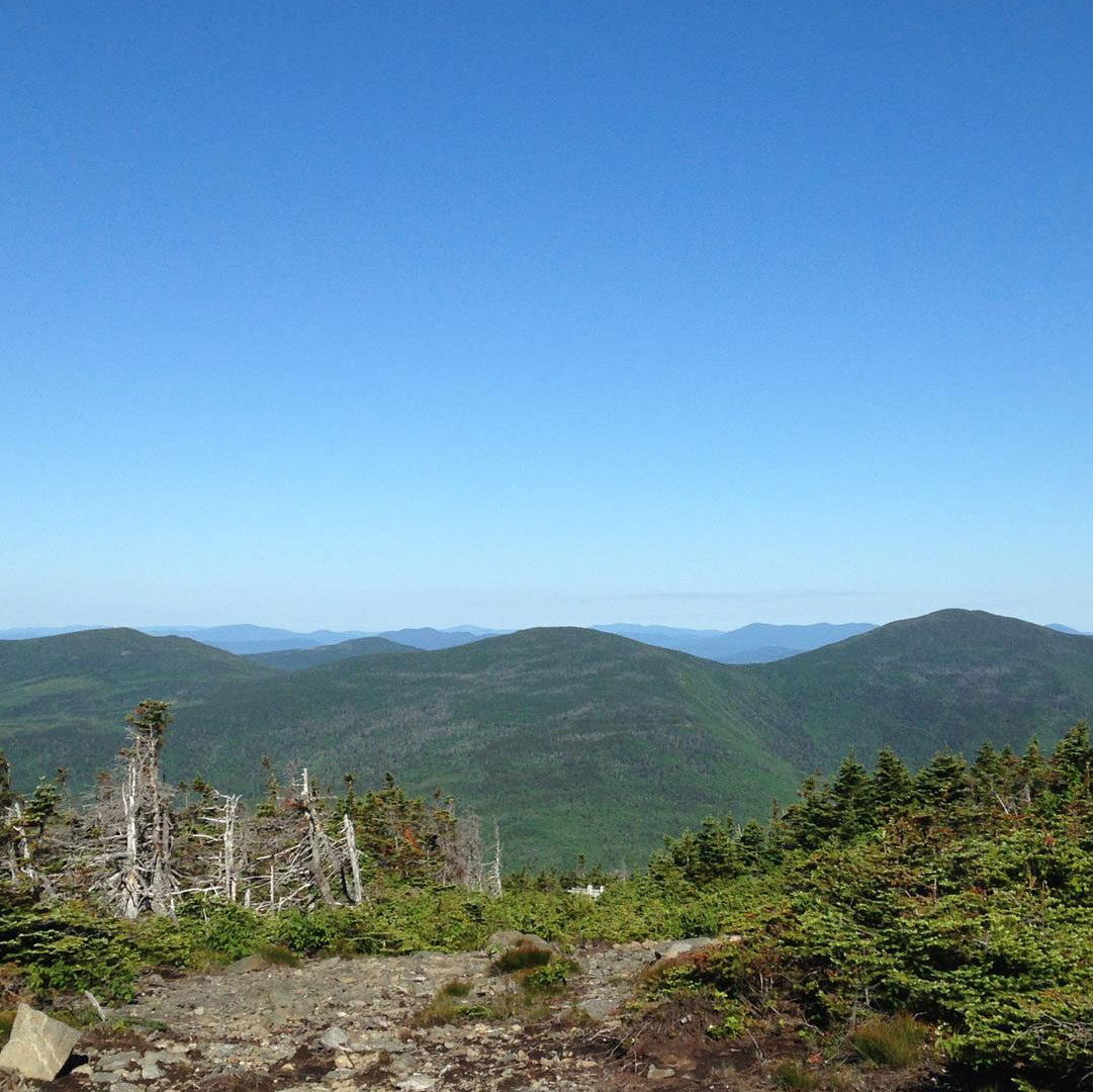
The Bigelow Range stretches 12 miles and is made up of six peaks. West Peak is the highest, and the shortest route to its top begins at the Stratton Brook Campsite parking area. Follow Fire Warden’s Trail, rising nearly 1,500 feet to where you’ll connect with the AT. Expect stellar panoramic views of Avery Peak, the surrounding horns, and the vast forests.
5. Saddleback Mountain
Elevation: 4,120 feet Distance: 4 miles round-trip Location: Sandy River Plantation
The peak of Saddleback is a fun summit with breathtaking views of Rangeley Lakes, Saddleback Lake, and Winship and Conant Streams. In summer, most hikers choose to take the Grey Ghost Trail from the base lodge to conquer this beloved peak. Follow the trails of Wheeler Slope, Grey Ghost, and Tri Color up before connecting to the AT for an moderate amble to the wide-open summit and broad views of the lakes below.
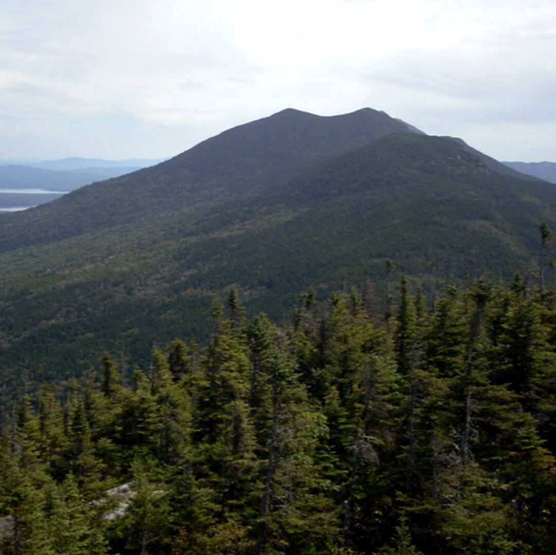
6. Avery Peak
Elevation: 4,088 feet Distance: 10 miles round-trip Location: Dead River Twp
The Bigelow Range consists of six peaks, but only two—Avery and West Peak (#4)—rise above 4,000 feet. Avery is the smaller of the two at 4,088 feet.
Avery Peak can be reached via the Stratton Brook Campsite, Fire Warden’s Trail, Horns Pond Trail, and the AT. Once you reach the peak, you’ll be rewarded with views of Maine’s vast northern wilderness and Flagstaff Lake spread out below.
7. South Crocker Mountain
Elevation: 4,050 feet Distance: 5.2 miles round-trip Location: Carrabassett Valley
A sister of Crocker Mountain (#2) and summiting at 4,050 feet, South Crocker is traversed by the Appalachian Trail. A glacial hiking cirque called Crocker Cirque is located between Crocker and South Crocker Mountain and features a small pond. It is one of Maine’s easiest 4,000-footers, as the first mile of this hike is relatively flat. Beyond this the incline starts to become steep in areas.
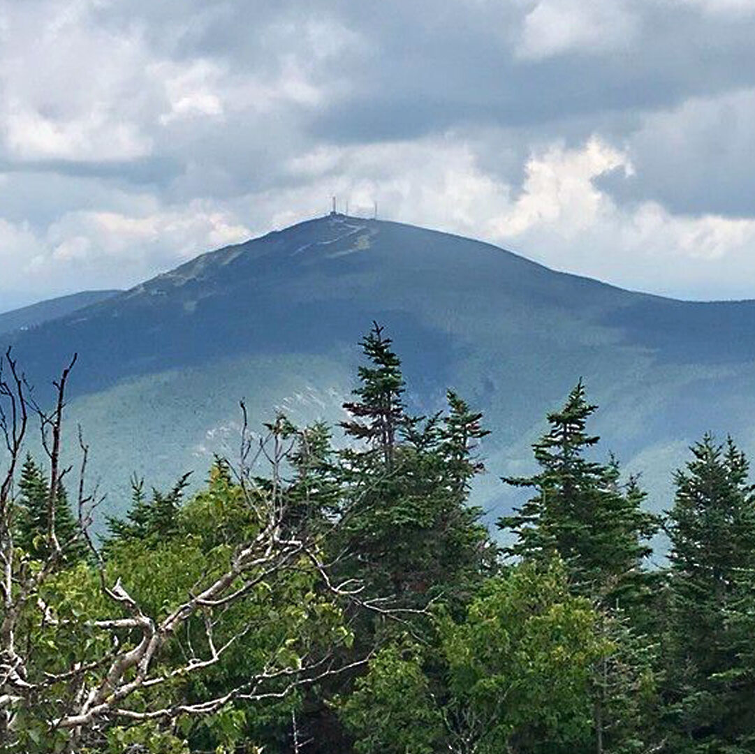
8. Mount Abraham
Elevation: 4,049 feet Distance: 8 miles round-trip Location: Kingfield
The second-largest alpine zone in Maine, Mount Abraham’s bald summit is easy to spot on a clear day. A rewarding experience for seasoned hikers, the Fire Warden Trail is the traditional approach to the highest peak on the ridge line. It’s a gradual climb at first, with a steeper trek for the final two miles, passing through a lush forest and river crossings. Follow the rock cairns on the trail for the final scramble to the summit and old fire tower.
9. The Horn
Elevation: 4,023 feet Distance: 7.2 miles round-trip Location: Madrid
A sub-peak of Saddleback Mountain (#5), The Horn tops out at 4,023 feet and is a great add-on to a day hike of Saddleback. Hikers can access the trails via the access road from the ski resort, the AT, or Berry Picker’s Trail. The summit offers gorgeous views of the ski resort and the surrounding area on clear days, but take note it can often be foggy at the top.
10. Spaulding Mountain
Elevation: 4,010 feet Distance: 15.2 miles round-trip Location: Mount Abram Twp
Tucked between Sugarloaf and Mount Abraham, hikers can access Spaulding’s summit via the AT or the ski trails of Sugarloaf Mountain Resort. Follow the Fire Warden’s Trail to Mount Abraham to connect to the AT. About a mile past the Spaulding Campsite, you’ll reach the summit. Spectacular 360-degree views make this a favorite 4,000-footer.
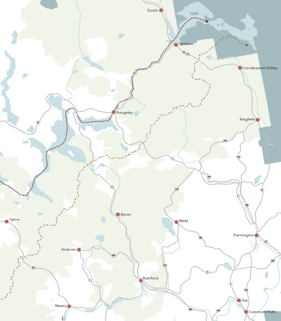
where to find the 4,ooo footers
Roll over the icons to see the mountain’s name and rank.
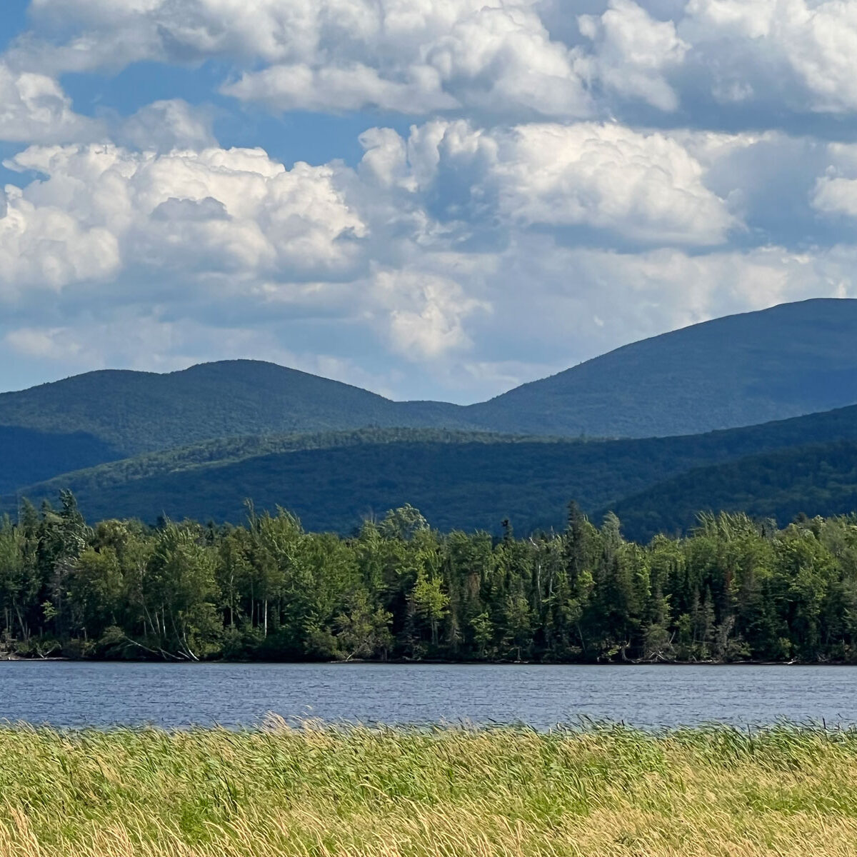
Maine’s Lakes and Mountains is filled with spectacular ways to hit the trail. Whether it is remote backcountry hiking, hoofing it up to the summit of Jockey Cap for the views, or just a leisurely walk in the woods, we’ve got a trail for you.
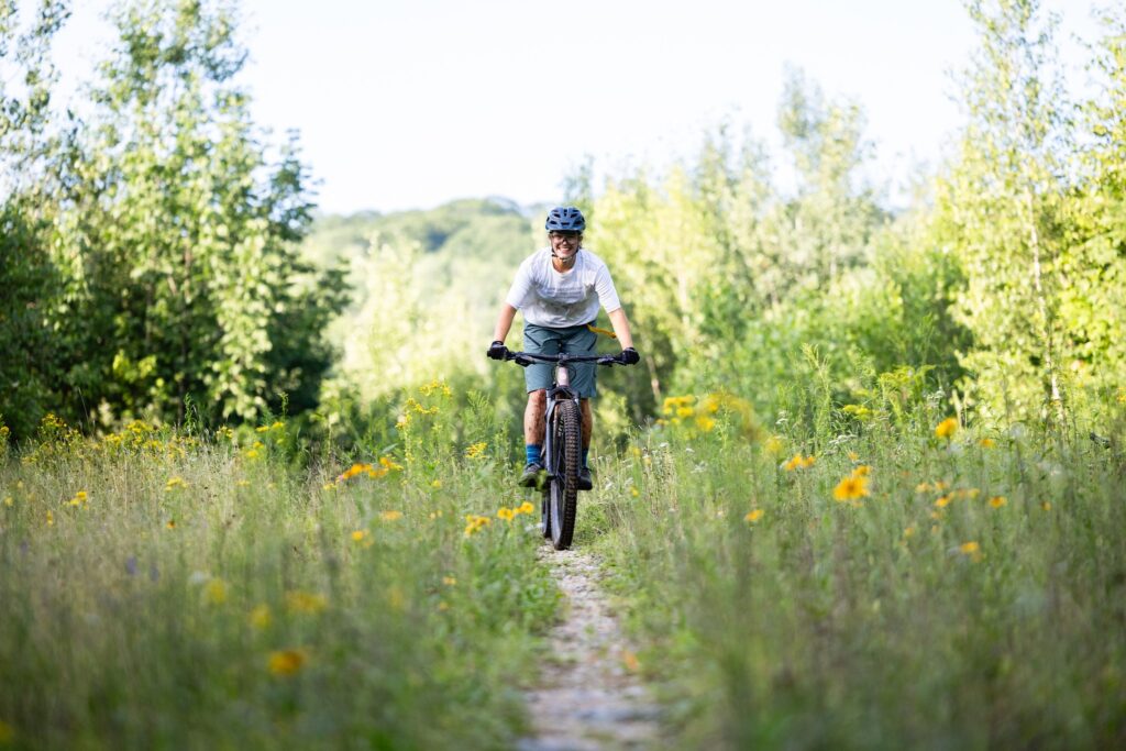
Though you do not have to be in the mountains to enjoy this sport, the Maine’s Lakes and Mountains region offers the perfect setup for bikers looking for the challenge of single-track.
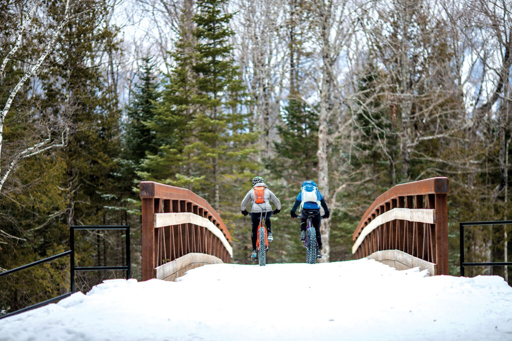
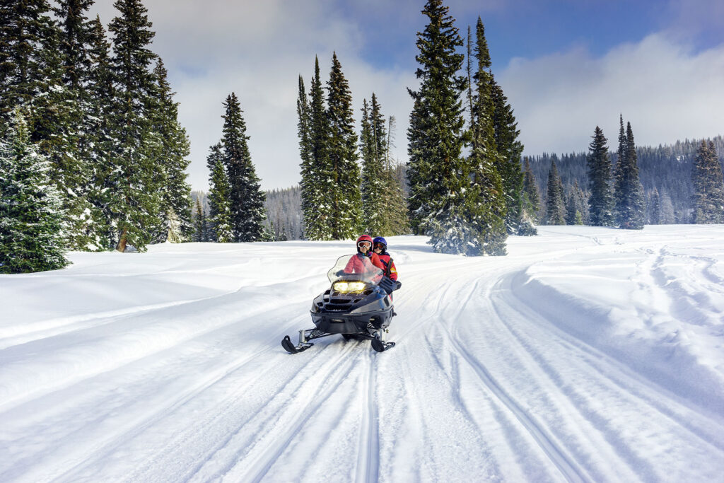
If you love mountain biking and winter, fat biking might be your new favorite sport. Fat bikes use huge, grippy tires that allow riders to take to trails typically used by snowmobilers and cross-country skiers.
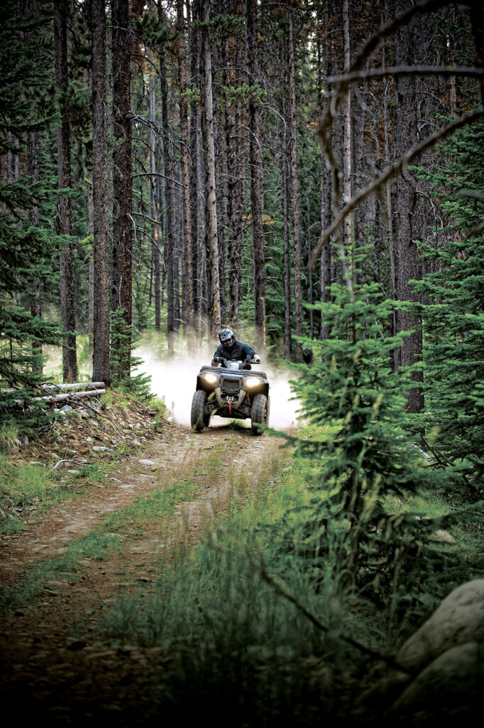
Take on terrain from rocky climbs up a mountain, to smooth cruises through open plains as you explore extensive miles of ATV trails spanning mountains, forests, and meadows.
With over near-endless miles of groomed trails maintained by local riding clubs, you’ll always find new places to explore amid the incredible scenery, fragrant pine forests, and wide-open plains.
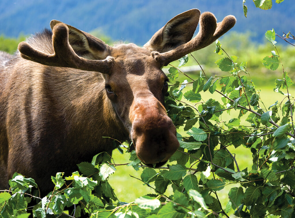
You can spot moose throughout most of Maine, but their population is most significant in more secluded areas, including much of Maine’s Lakes and Mountains.
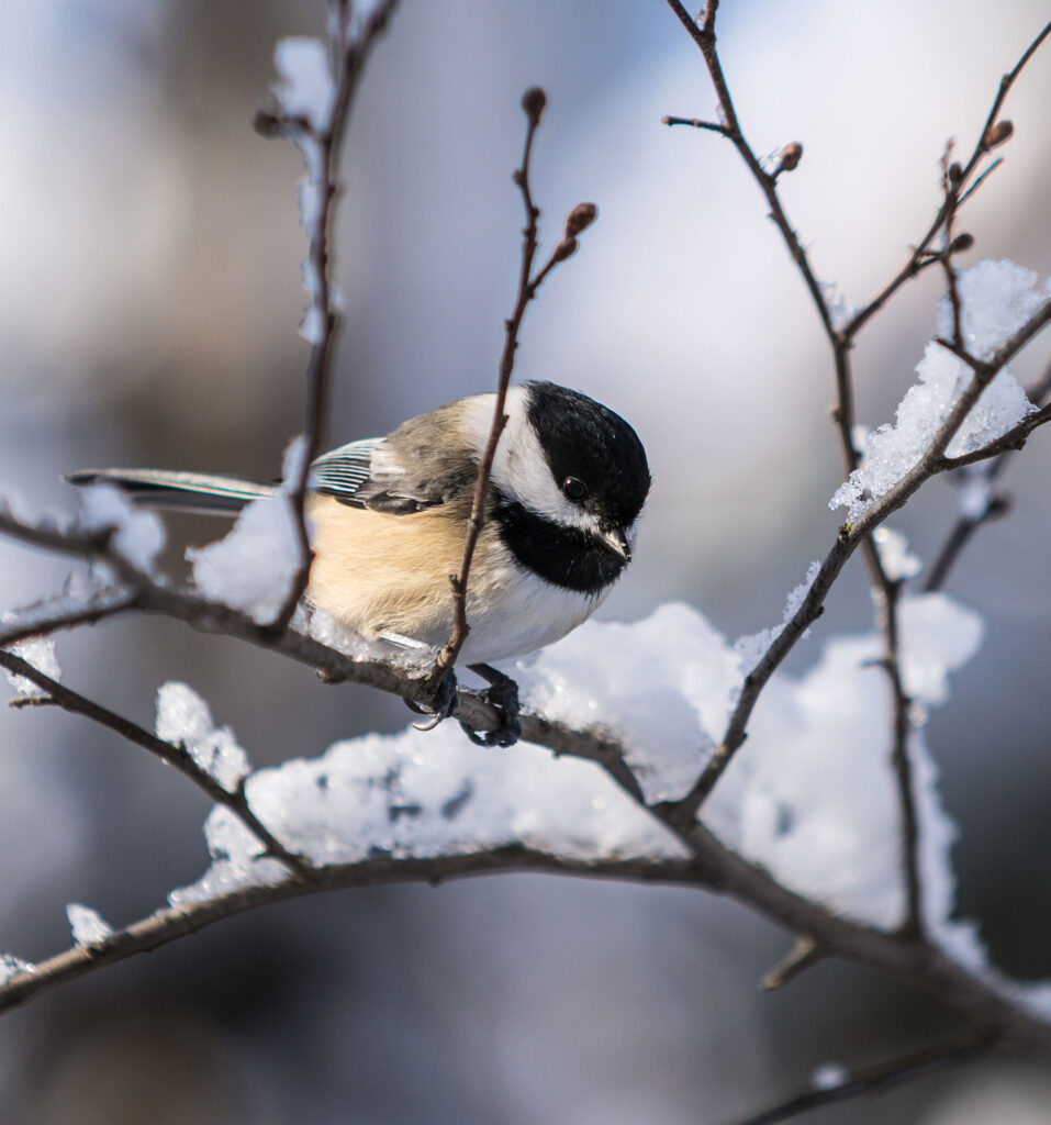
The forests, fields, and wetlands of Maine’s Lakes and Mountains are the ideal setting to experience the thrill of birdwatching. Many highly coveted species can be found in the area’s boreal forests, including woodpeckers and Bicknell’s Thrush.
Maine’s Lakes and Mountains offers a variety of resources to help you plan your next visit, including an annual visitor’s guide, stand alone map, and the new Adventure Guide App.
Visitor's Guide
Our Free Visitor's Guide will help inspire your next adventure along our mountain trails, lakes, scenic byways, bustling towns and more.
Our lakes, mountains, and forests are worthy of respect. Whether you’re venturing out into our vast public or private lands or parks, here’s what you can do to conserve the area’s natural resources for all.