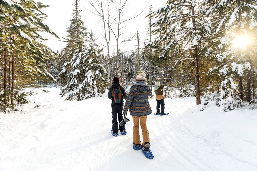
Shared-use trails are exactly that; they can be used for hiking, snowshoeing, ATV-ing, snowmobiling, Nordic skiing, mountain biking, and horseback riding. But, not all the trails are for all uses. So know before you go and respect the rules for the safety and enjoyment of all. Many trailside outfitters offer everything from helmets and equipment rentals to snacks and fuel.
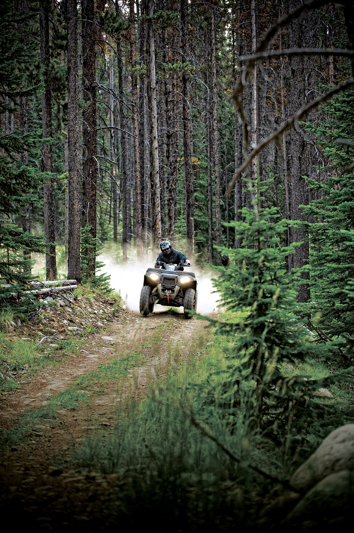
ATV’er’s will thrill to an adventure on the region’s hundreds of miles of trails. Many of these paths are private lands made accessible by cooperative landowners and maintained by local ATV clubs whom, along with ATV Maine, work together to provide quality and safe trail riding experiences.
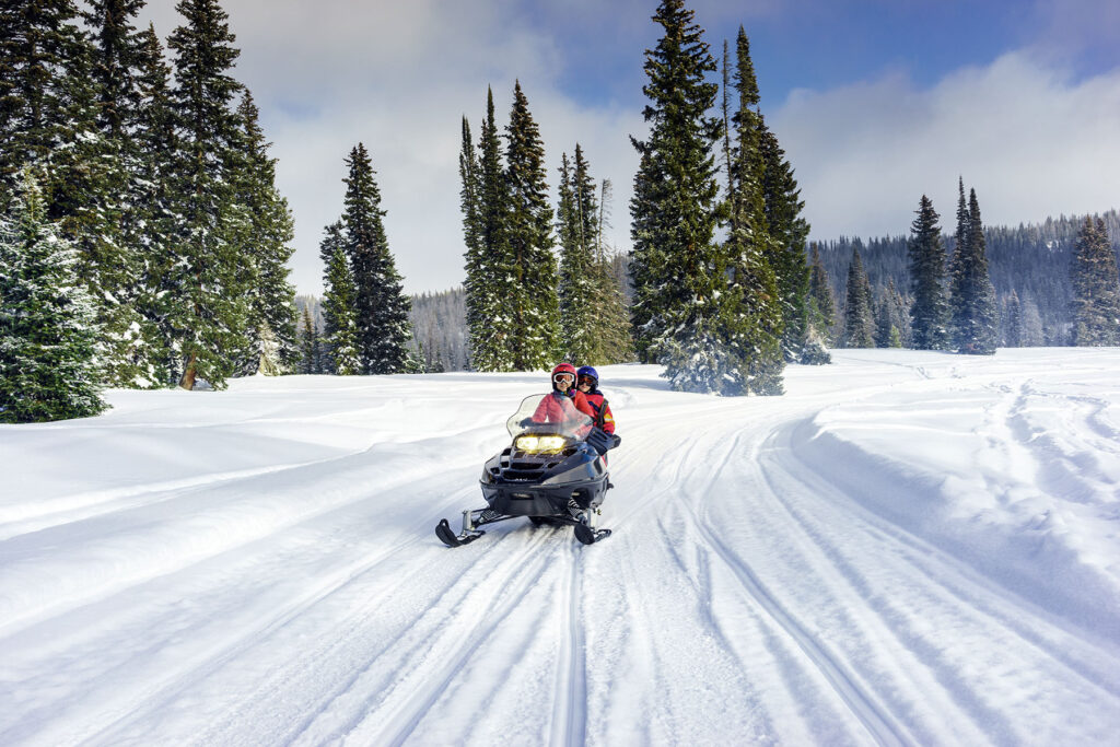
Trail riding aboard a snowmobile is one of the best ways to enjoy the Lakes and Mountains’ stunning landscape. Just rev up the engine and ride. The extensive Interconnected Trail System (ITS) runs on our Public Reserved Lands and state parks to local trails or those designated for just ATVs and snowmobiles.
ATV Riding
What enthusiasts like best about riding ATVs (all-terrain vehicles) is their ability to take on terrain from rocky climbs up a mountain, to smooth cruises through open plains. Explore extensive miles of ATV trails spanning mountains, forests, and meadows. Plus, its easy to find ATV-friendly lodging, rentals, and services throughout the region.
Snowmobiling
Imagine flying across a meadow and over yonder hill, taking flight from the world we know as you speed along the miles of trails that criss-cross Maine’s Lakes and Mountains; every twist and turn leads to a snowmobiling adventure.
Just rev up the engine and ride. With over 3,000 miles of Maine trails maintained by local riding clubs, you’ll always find new places to explore amid the incredible scenery, fragrant pine forests, and wide-open plains.
Trails
Mt. Blue State Park
Trailheads: Park Headquarters, Weld Length: 25 miles, Connects to ITS
ATV riders are welcome to experience 25 miles of challenging, shared-use trails in the largest state park in the region. During winter, the park’s trails are open for snowmobiling, snowshoeing, and cross-country skiing. In the summer months, the trails are open for hiking, mountain biking, and horseback riding.
The Whistle Stop Trail
Trailheads: West Farmington and French Falls Park Length: 14 miles
Offering a converted rail line between Jay and Farmington, this shared-use trail (both motorized and non-motorized) includes wetland wilderness and beaver habitat. Travel past waterfalls and take in the scenic mountain views along the way.
Moose Trail
Trailheads: Connects Rangeley, Stratton-Eustis, Kingfield, Salem, Strong, Avon, Phillips, and Madrid to Rev-It-up in Sandy River Plantation Length: 138 miles
This ATV loop trail circles the heart of Franklin County, connecting trail systems for seven clubs offering the widest variety of trails in the East. Test your technical skill on steep trails, rocky outcroppings, and mud holes or tour wooded trails enjoying the scenery.
Androscoggin Riverlands State Park
Trailheads: Center Bridge Rd., Turner Length: 12 miles
Enjoy the park year-round. The shared-use trail is popular among ATV riders, snowmobilers, bicyclists, horseback riders, Nordic skiers, snowshoers, and hikers, while the Bradford Loop Trail requires advanced ATV and snowmobile riding skills.
This network of trails connects to towns such as Stratton, Eustis, Kingfield, Andover, Madrid, and Phillips. The trails offer scenic views of the area from Quill Hill Overlook Trail, Onion Valley lookout, and Canyon Loop Mountain view.
Rentals and Service
Boss Power Equipment
Rangeley | Sales/Service
Central Maine Powersports
Lewiston | Rental, Sales/Service
Flagstaff Rentals
Flagstaff, | Rental, Sales/Service
Maine-ly Action Sports
Oxford | Sales/Service
Mountain View Adventures
Rangeley | Rental, Guided Adventures
Northeast Snowmobile & ATV Rental
Fryeburg | Rental
Oquossoc Marine
Oquossoc | Sales/Service
Rangeley Jet Ski & Snowmobile Rental
Rangeley | Rental
Windham Powersports
Windham | Sales/Service
Ways to Adventure
On the trail
skiing
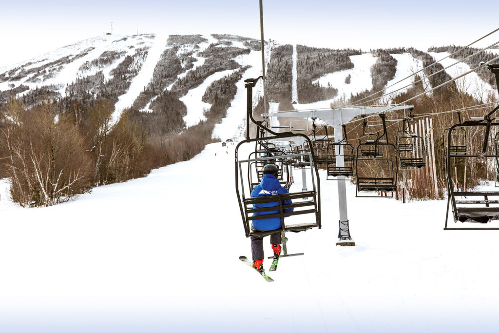
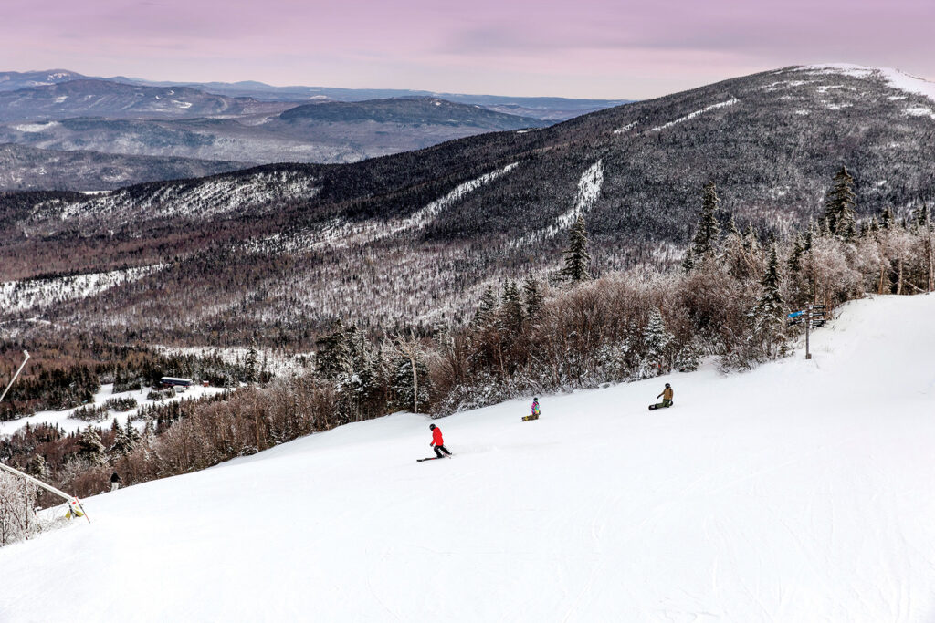
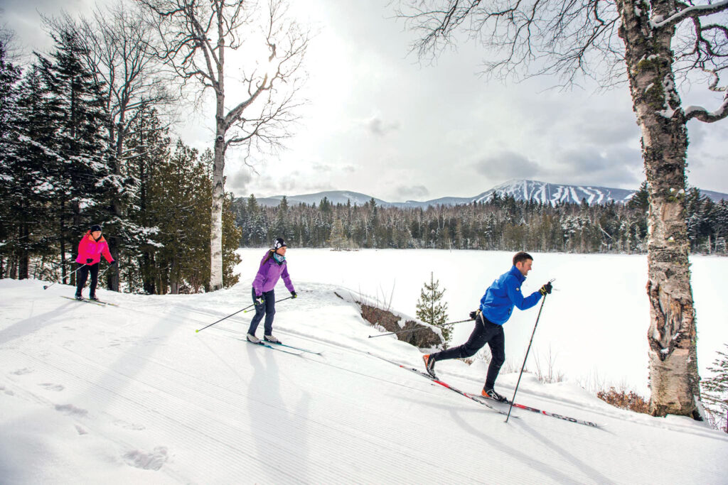
With some of the best ski resorts in the east, Maine’s Lakes and Mountains is wicked fun once the snow flies. Our endless slopes, and awesome verticals will keep you on the trails all winter.
With smaller mountains to inspire and some of the best ski resorts in the east, Maine’s Lakes and Mountains’ terrain parks and awesome verticals will keep you on the trails all winter.
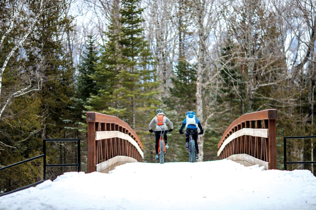
If you love mountain biking and winter, fat biking might be your new favorite sport. Fat bikes use huge, grippy tires that allow riders to take to trails typically used by snowmobilers and cross-country skiers.
With over near-endless miles of groomed trails maintained by local riding clubs, you’ll always find new places to explore amid the incredible scenery, fragrant pine forests, and wide-open plains.
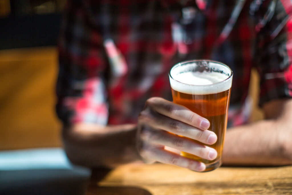
With hundreds (maybe thousands) of miles of hiking, biking, and ski trails and just as many watering holes, Maine’s Lakes and Mountains has welcomed the national craft beer love affair with open arms.
There are great places to eat around every turn. You’ll find exactly what you’re craving; whether it’s iconic Maine lobster with drawn butter or an espresso coupled with a chocolate croissant
Maine’s Lakes and Mountains offers a variety of resources to help you plan your next visit, including an annual visitor’s guide, stand alone map, and the new Adventure Guide App.
Visitor's Guide
Our Free Visitor's Guide will help inspire your next adventure along our mountain trails, lakes, scenic byways, bustling towns and more.