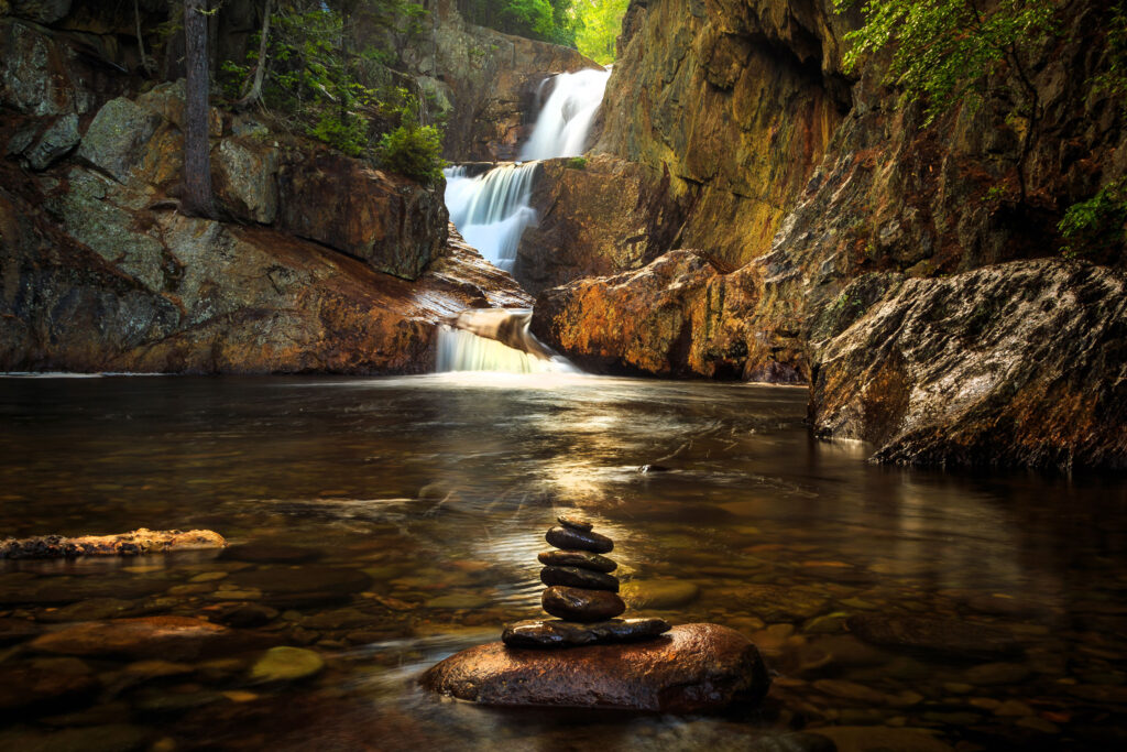
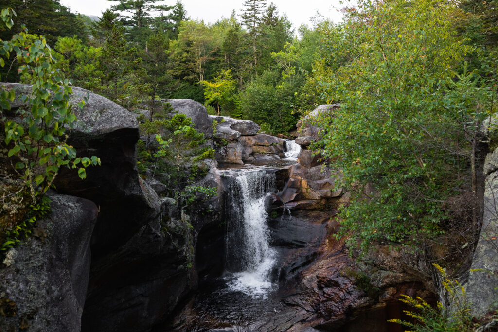
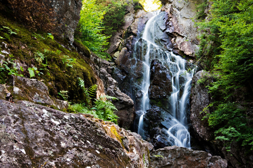
Maine’s Lakes and Mountains offers fifteen waterfalls for your approval. Many of these natural wonders have already captured the hearts of photographers, artists, and waterfall enthusiasts alike with their dramatic heights, lush surroundings, and thunderous roar.
Tumbling nearly 180ft over solid granite, Pennacook Falls (aka. Rumford Falls) is the highest waterfall east of Niagara. Angel Falls is one of Maine’s highest single-drop fall at 90ft, and Poplar Stream Falls and Swift River Falls never fail to amaze. Set along the roadside, Snow Falls is easily accessible to visitors who don’t “hike” with a rest area complete with trails on both sides of the gorge, picnic tables, rest rooms, and plenty of parking.
While waterfalls can be beautiful to climb and explore, be sure to stay on designated trails, decks, and platforms; follow all posted rules and warnings; do not climb on or around waterfalls; and keep a close eye on children and pets.
top three Falls
Small Falls
Screw Auger Falls
Angel Falls
more waterfalls
Snow Falls
Snow Falls is one of the most accessible waterfalls in the area.
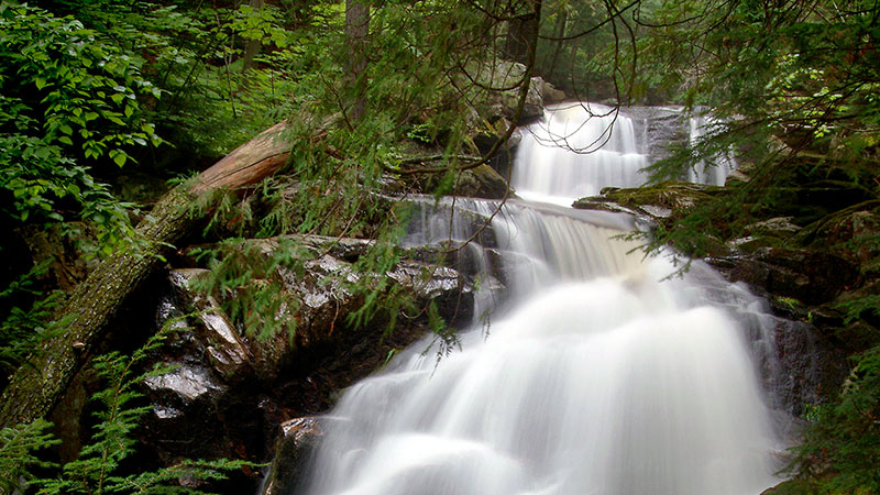
Mad River Falls
Mad River Falls is made up of several horsetails falling into a pool below.
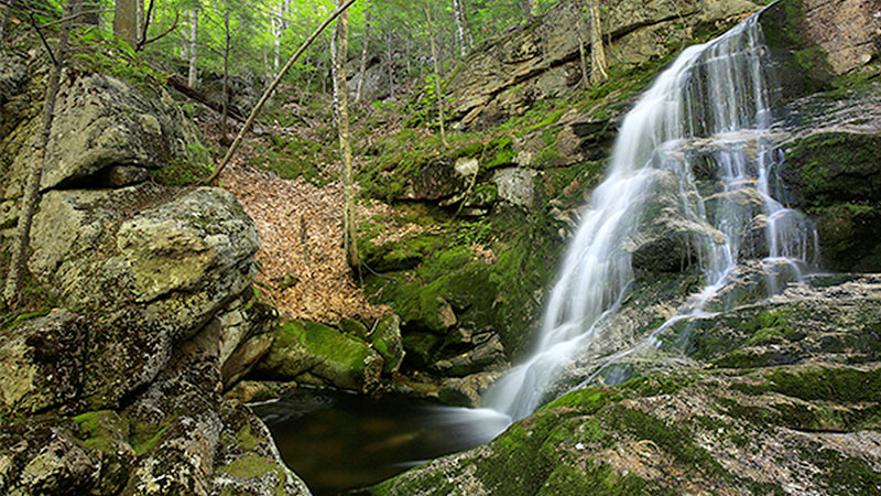
Dunn Falls
Dunn Falls consists of lower and upper falls and smaller cascades.
Step Falls
Step Falls is a popular attraction for waterfall and swimming hole fans.
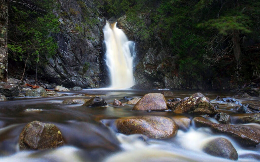
Ellis Falls
Located near Andover Ellis Falls is central to any waterfall adventure.
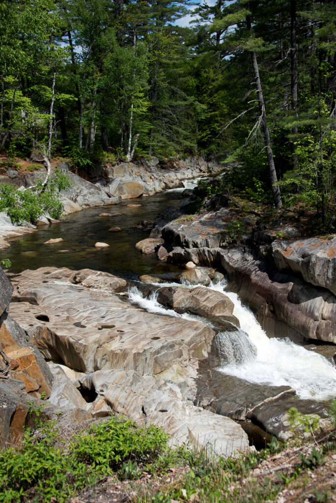
Swift River Falls
Swift River Falls flows over small to large impressions in the rock.
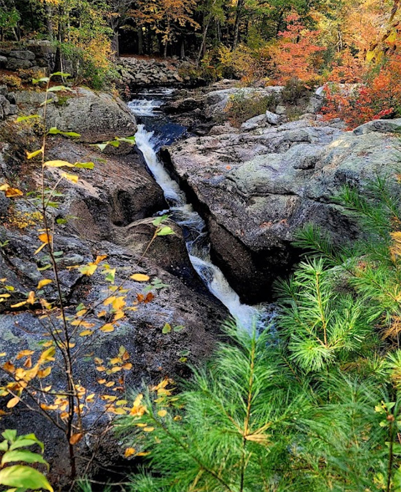
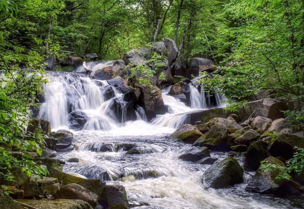
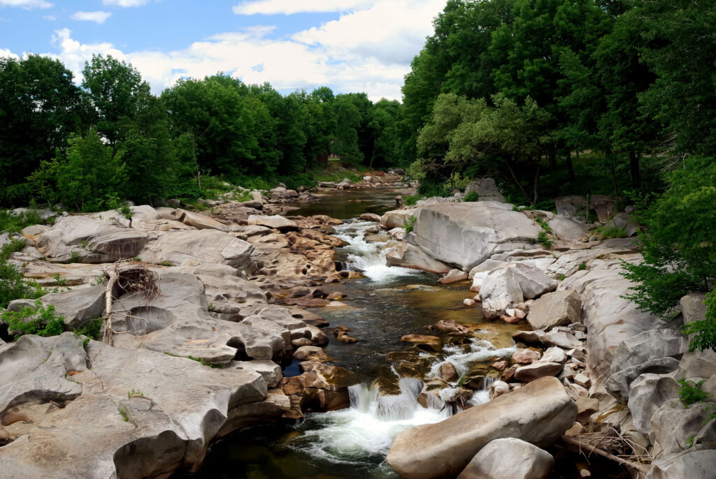
Coos Canyon
Coos Canyon is the perfect choice for a swim or a picnic.
Poplar Stream Falls
Poplar Stream Falls consist of two drops on two different streams.
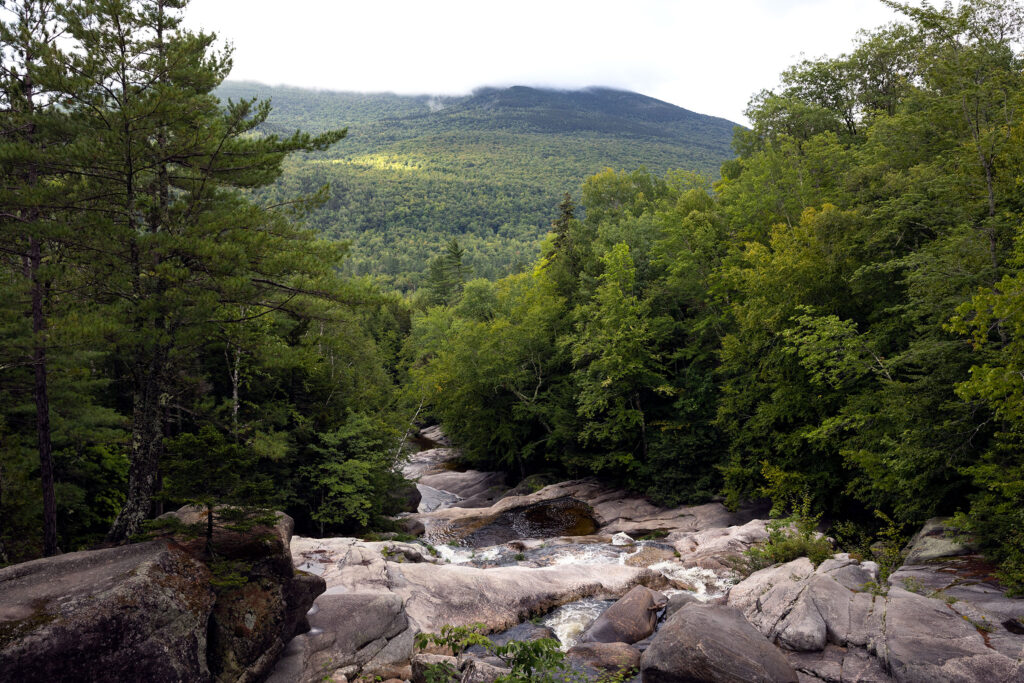
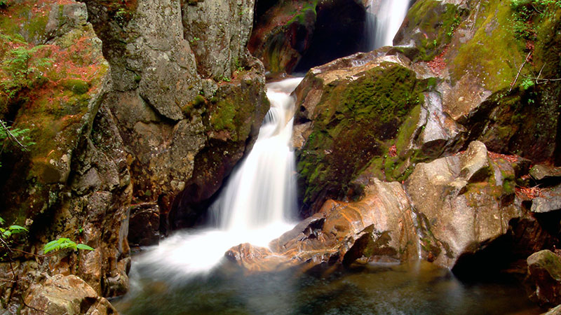
The Cataracts
The Cataracts consist of plunges dropping an estimated 60 feet.
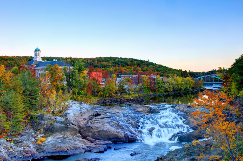
Rumford Falls
Rumford Falls is a chain of huge drops of the Androscoggin River.
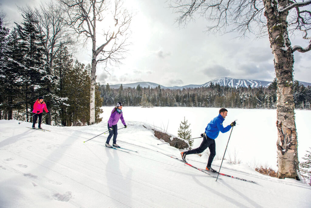
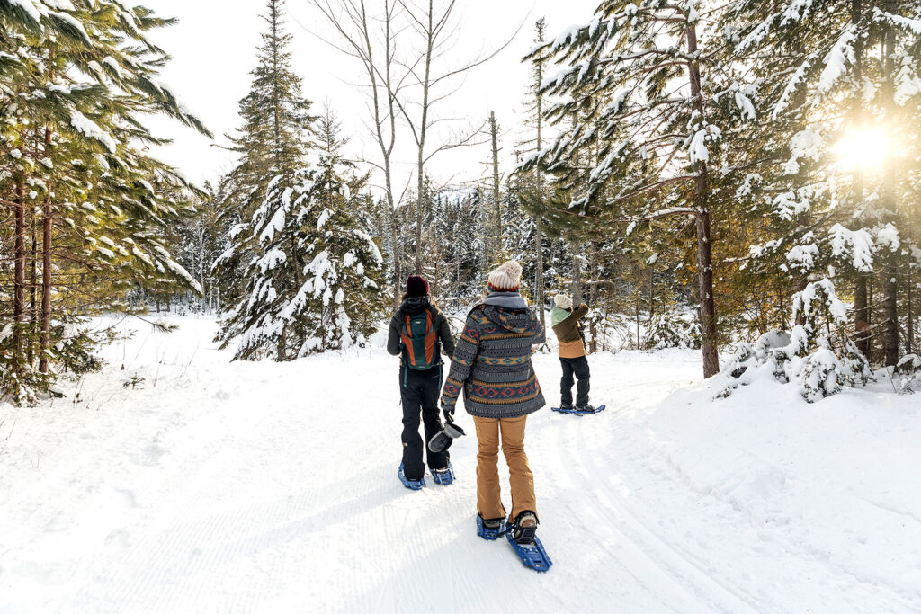
Ways to Adventure
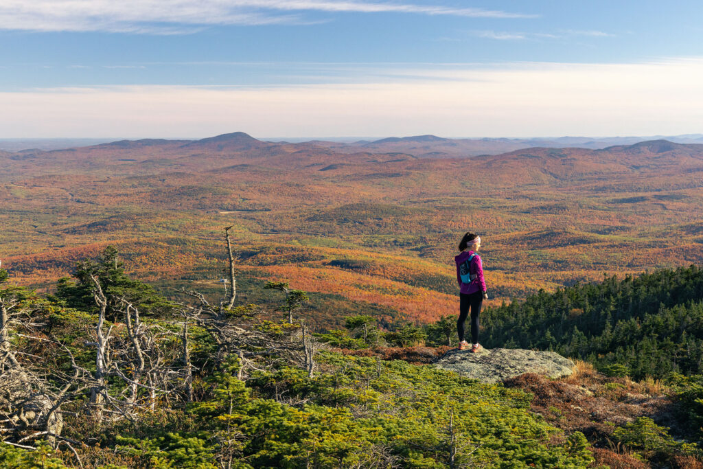
On the trail
hiking
Maine’s Lakes and Mountains is filled with spectacular ways to hit the trail. Whether it is remote backcountry hiking, hoofing it up to the summit of Jockey Cap for the views, or just a leisurely walk in the woods, we’ve got a trail for you.
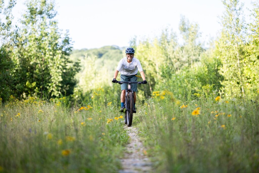
Though you do not have to be in the mountains to enjoy this sport, the Maine’s Lakes and Mountains region offers the perfect setup for bikers looking for the challenge of single-track.
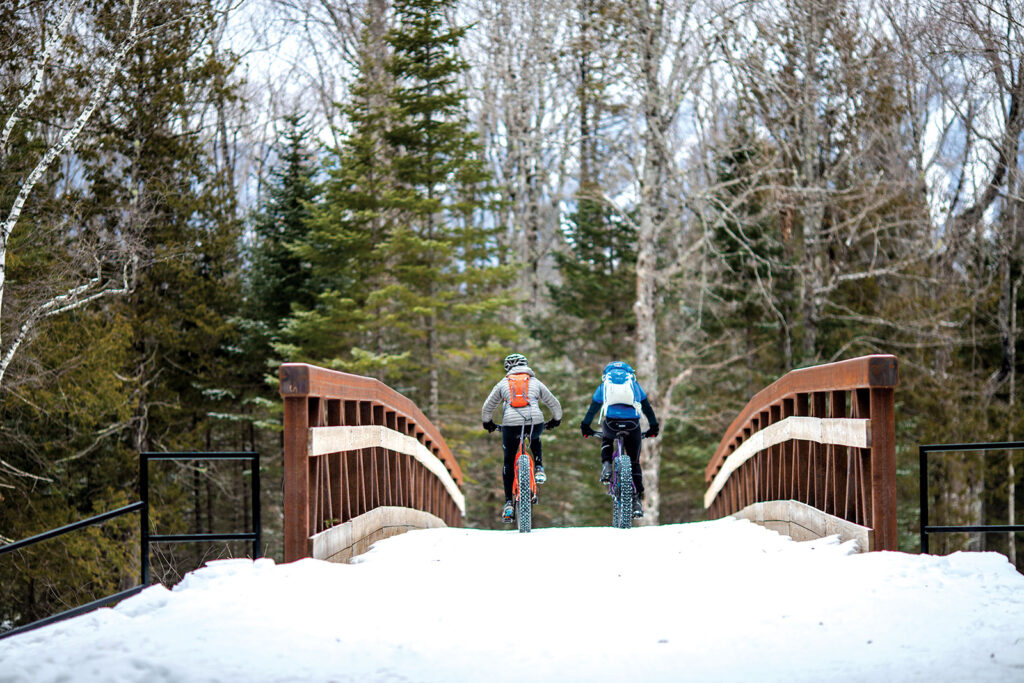
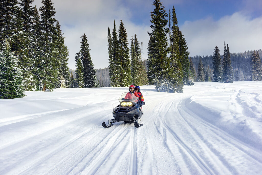
If you love mountain biking and winter, fat biking might be your new favorite sport. Fat bikes use huge, grippy tires that allow riders to take to trails typically used by snowmobilers and cross-country skiers.
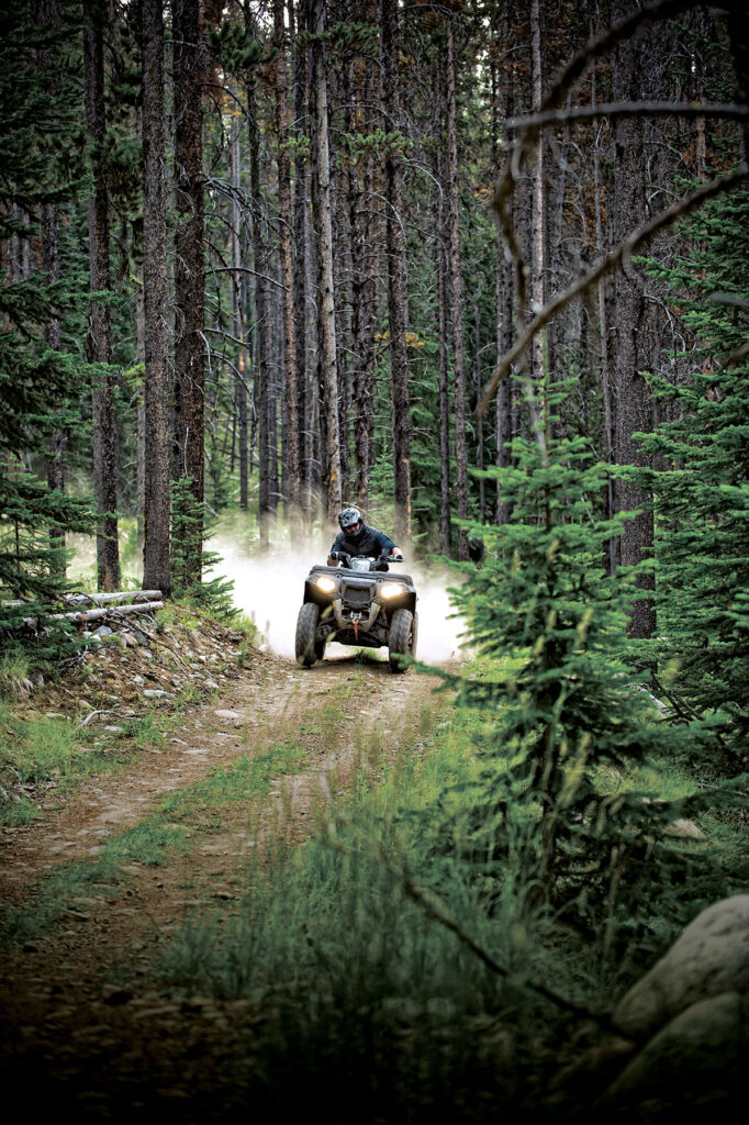
Take on terrain from rocky climbs up a mountain, to smooth cruises through open plains as you explore extensive miles of ATV trails spanning mountains, forests, and meadows.
With over near-endless miles of groomed trails maintained by local riding clubs, you’ll always find new places to explore amid the incredible scenery, fragrant pine forests, and wide-open plains.
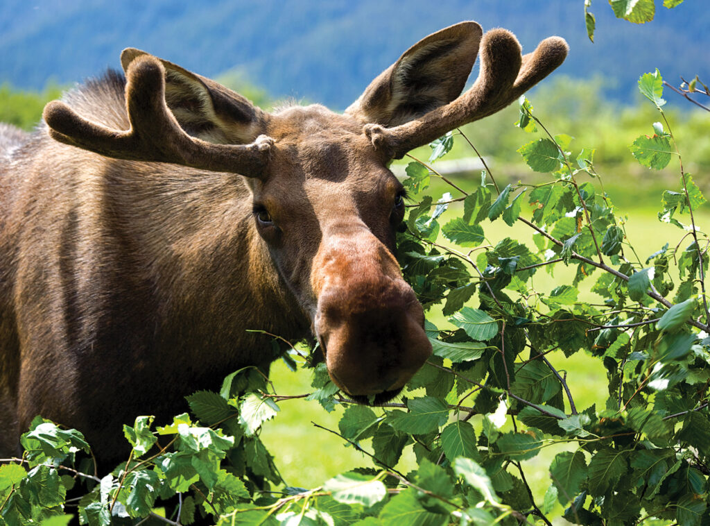
You can spot moose throughout most of Maine, but their population is most significant in more secluded areas, including much of Maine’s Lakes and Mountains.
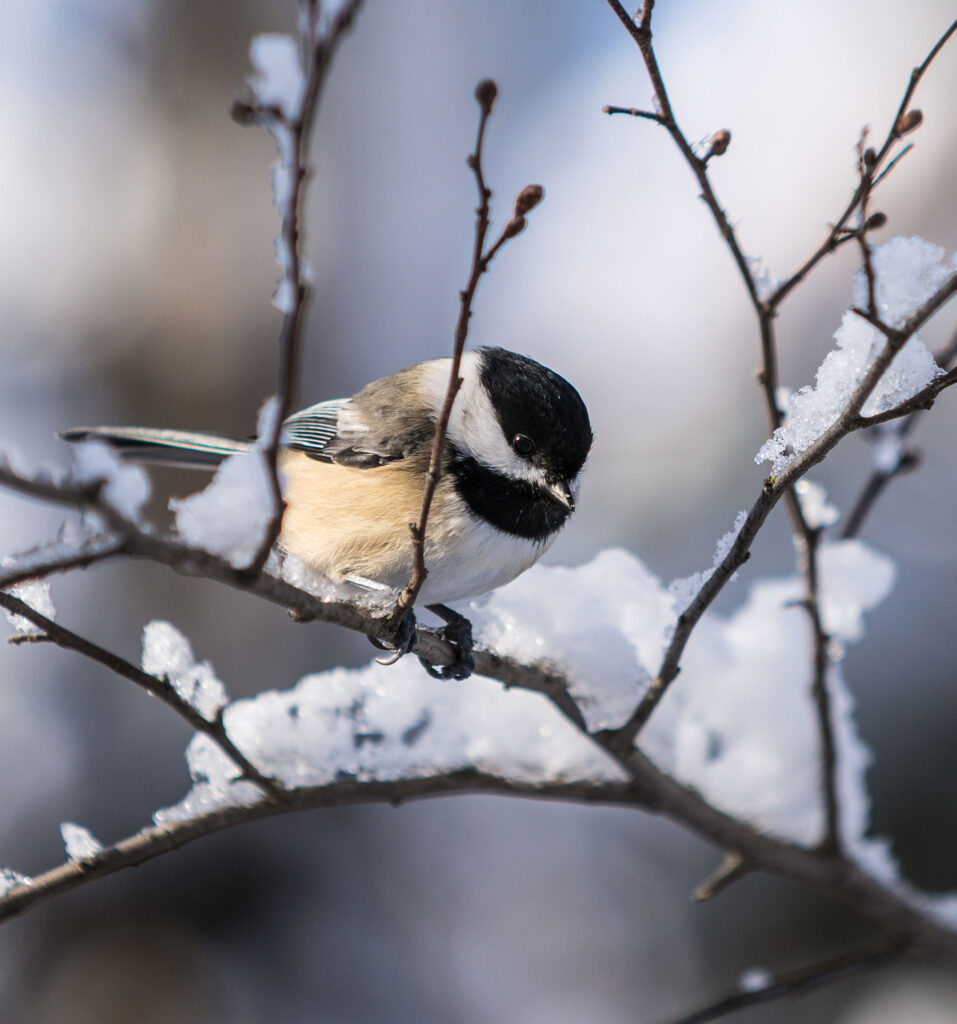
The forests, fields, and wetlands of Maine’s Lakes and Mountains are the ideal setting to experience the thrill of birdwatching. Many highly coveted species can be found in the area’s boreal forests, including woodpeckers and Bicknell’s Thrush.
Maine’s Lakes and Mountains offers a variety of resources to help you plan your next visit, including an annual visitor’s guide, stand alone map, and the new Adventure Guide App.
Visitor's Guide
Our Free Visitor's Guide will help inspire your next adventure along our mountain trails, lakes, scenic byways, bustling towns and more.
Our lakes, mountains, and forests are worthy of respect. Whether you’re venturing out into our vast public or private lands or parks, here’s what you can do to conserve the area’s natural resources for all.